Copyright: © 2022, Dr. Anne-Cathrin Wölfl und Kevin Kess MBES
Gear construction: Acoustic Transmitter and an array of hydrophones on the hull of the ship
Dimensions:
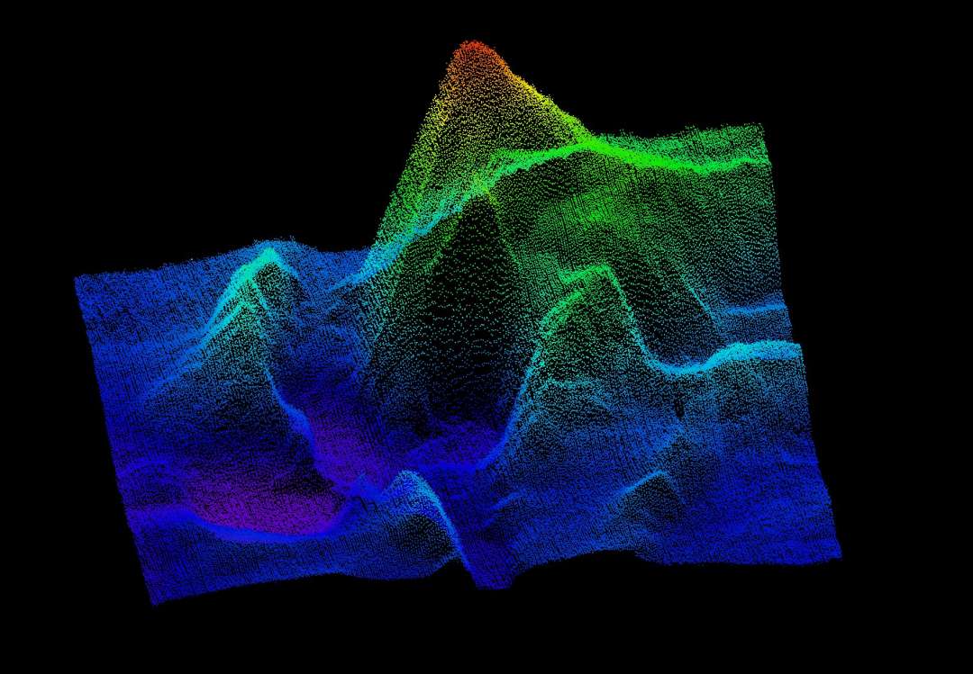
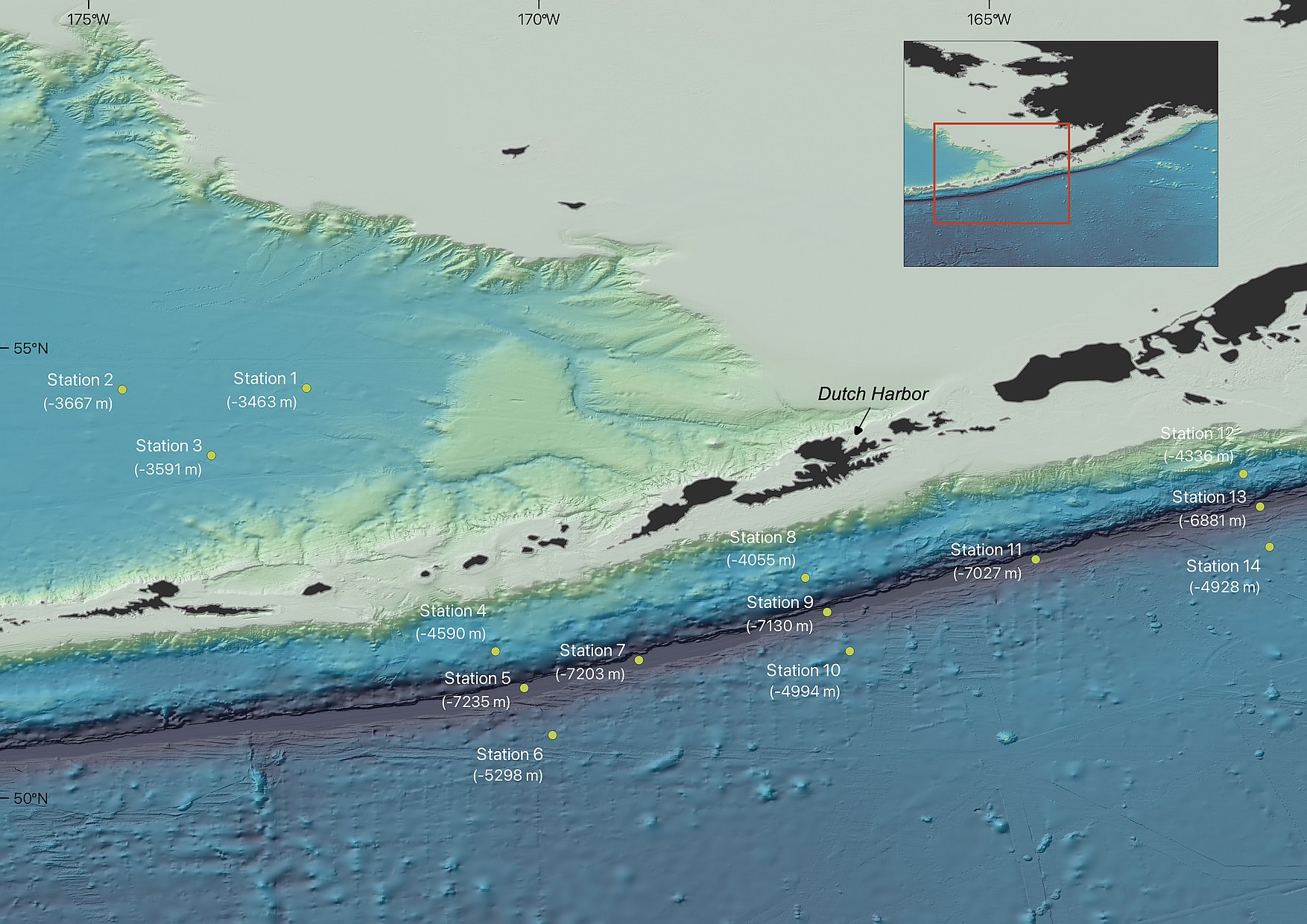
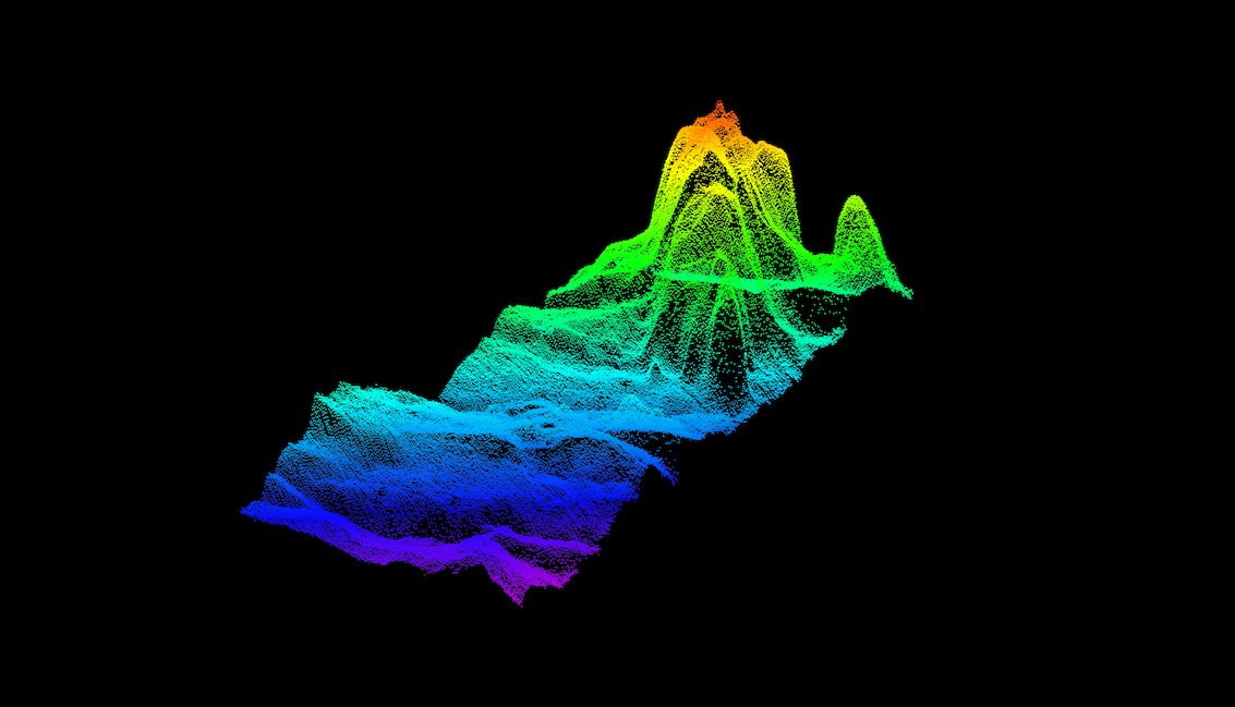
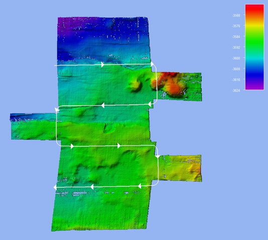
Deployment: Sound waves are transmitted from the hull of the ship and the reflected signals from the seafloor are detected. By the measured two-way travel times and the known sound velocity profile (e. g. from the CTD) the water depths of several points on the seafloor can be calculated.
Maximum Depth: 11,000 m
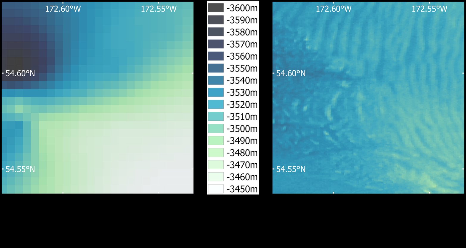
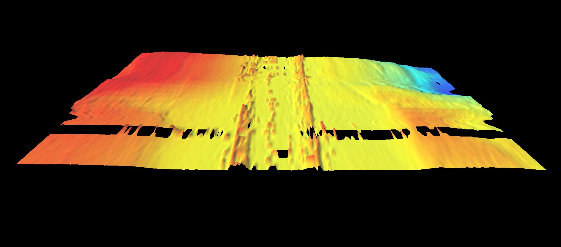
Follow-up work: Cleaning of erroneous values and grid creation
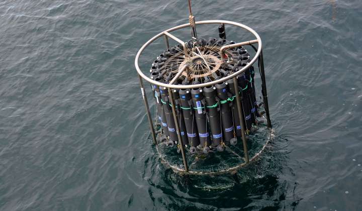
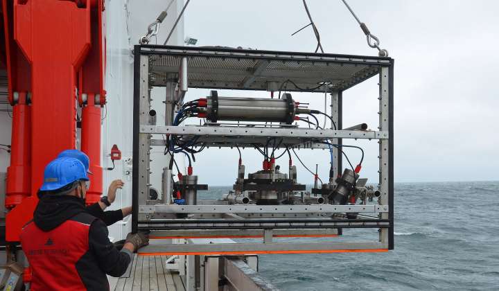
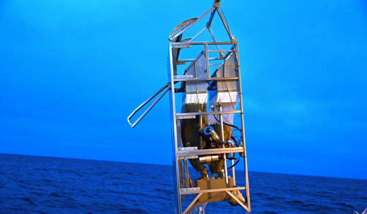
Samples / Results: Raw and processed data as well as bathymetry and backscatter maps of the seafloor
Copyright: © 2022, Dr. Anne-Cathrin Wölfl und Kevin Kess MBES
Copyright: © 2022, Dr. Anne-Cathrin Wölfl und Kevin Kess MBES
Copyright: © 2022, Dr. Anne-Cathrin Wölfl und Kevin Kess MBES
Copyright: © 2022, Dr. Anne-Cathrin Wölfl und Kevin Kess MBES
Each section overlaps 50 per cent with the one next to it to increase accuracy.
Copyright: © 2022, Dr. Anne-Cathrin Wölfl und Kevin Kess MBES
Copyright: © Reederei Briese
Briese Schiffahrts GmbH & Co. KG
Research | Forschungsschifffahrt
Videos: Bathymetrie Animationen
Mehr zum Thema im Blog:
Vermessung einer (noch) unbekannten Welt
Landschaften der Tiefsee